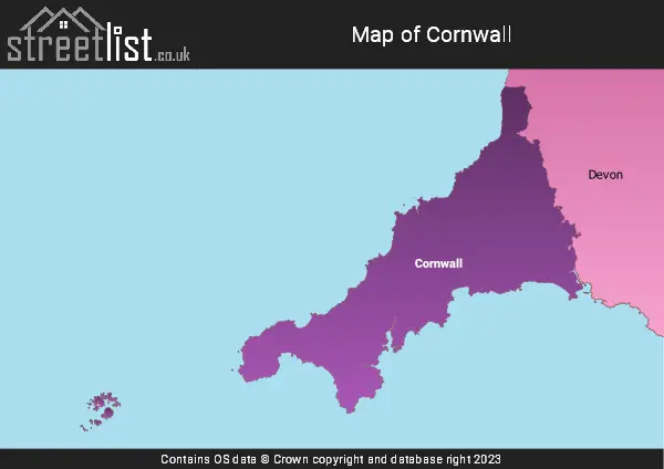
The Ceremonial County of Cornwall is situated in South West England.

The area of Cornwall is 1,404 Square Miles (3,636 Square Kilometres). Making Cornwall the 19th largest county in Great Britain (out of 91) and the 11th largest county in England (out of 48).

A map showing the geology of Cornwall.
| Map Key | Description |
|---|---|
| 8 | HORNBLENDE SCHIST |
| 9 | FELSIC-ROCK |
| 20 | MAFIC IGNEOUS-ROCK |
| 21 | MUDSTONE, SILTSTONE AND SANDSTONE |
| 24 | MAFIC LAVA AND MAFIC TUFF |
| 27 | SANDSTONE AND CONGLOMERATE, INTERBEDDED |
| 42 | MAFIC TUFF |
| 45 | FELSIC LAVA |
| 50 | ULTRAMAFITITE |
| 56 | BRECCIA AND METABRECCIA |
| 60 | MAFIC LAVA |
| 65 | LIMESTONE, MUDSTONE AND CALCAREOUS MUDSTONE |
| 74 | GRAVEL, SAND, SILT AND CLAY |
| 77 | MICA SCHIST |
| 79 | CLAY, SILT, SAND AND GRAVEL |
History of Cornwall
Cernyw, Cornovii or Kernow was a subdivision of Dumnonia. A Brythonic kingdom which resisted Saxon invaders after the withdrawal of the Roman legions in the late 4th Century C.E.
Cornwall was independent until 838 after being defeated by Saxon Wessex at the Battle of Hingston Down. After Dumnonia formed an alliance with the Vikings.
The most famous of rulers was Geraint of Dumnonia who perhaps even followed in the footsteps of the legendary Arthur.
The last king of Cornwall was Dungarth who died in 875.
Cornish was spoken until it died out in around 1800. The language was more closely related to Breton than Welsh and has recently undergone a resurgence.
Cornwall has long had close links to Brittany in France and there is even an area around Quimper called Cornouaille settled by the Cornish Saints of lore.

A map showing the boundary of Cornwall in relation to other counties.
Map of the County of Cornwall
| Zoom Level | Latitude | Longitude |
| 6 | 53.521968 | -2.164306 |