The Ceremonial County of Rutland is situated in The East Midlands region of England.

The area of Rutland is 152 Square Miles (394 Square Kilometres). Making Rutland the 9th smallest county in Great Britain (out of 91) and the 3rd smallest county in England (out of 48).

A map showing the geology of Rutland.
| Map Key | Description |
|---|---|
| 3 | LIMESTONE, SANDSTONE, SILTSTONE AND MUDSTONE |
| 18 | MUDSTONE, SILTSTONE, LIMESTONE AND SANDSTONE |
| 21 | MUDSTONE, SILTSTONE AND SANDSTONE |
| 43 | SANDSTONE, LIMESTONE AND ARGILLACEOUS ROCKS |
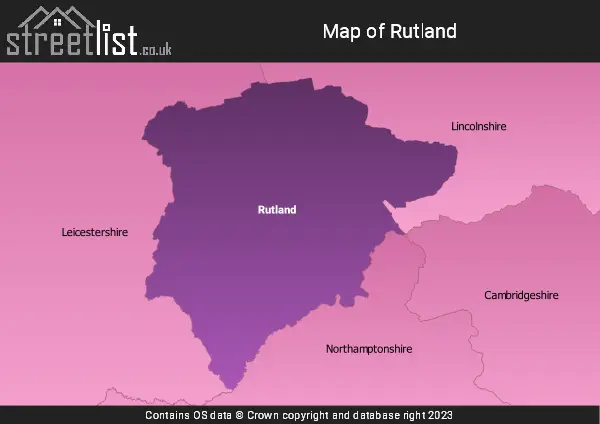
A map showing the boundary of Rutland in relation to other counties.
Advertisement
Map of the County of Rutland
| Zoom Level | Latitude | Longitude |
| 6 | 53.521968 | -2.164306 |
Cities, Towns and Villages in Rutland