About Amos Hill
Amos Hill is a street located near Great Henny. It uses the postcode CO10 7NQ. The street has a length of approximately 303 metres.
The street is publicly maintained which means that the road is adopted and Essex is responsible for the repair and upkeep of the highway.
The street is located within the Braintree District Council's jurisdiction. They provide various services, like refuse collection, and manage council tax collection. It's situated in the East of England region of the UK.
The road has been assigned the Unique Street Reference Number of 3900047 in the National Street Gazetteer.
It is located within the county of Essex, situated in the East of England region of the UK. It's 49.5 miles North East from central London., 19.41 miles West from Ipswich, 21.35 miles North East from Chelmsford and 28.43 miles South East from Cambridge.
AMOS HILL is within the Post Town of SUDBURY
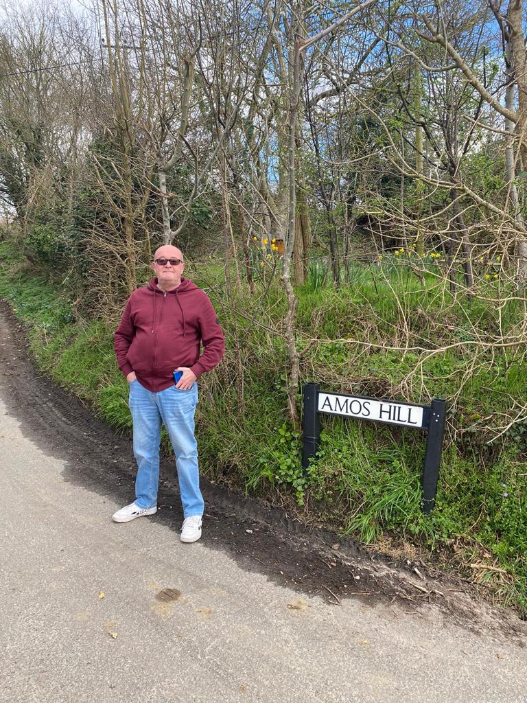

Do you know why this road is called Amos Hill?
What's it like to live here?
Ask the community a question.
Do you have any questions, memories to share or know any facts? We'd love to know more.
Reader Comments for Amos Hill
.
Map of Amos Hill
| Street Crime (updated 09/09/2024) | ||
|---|---|---|
| Location Note | Central Point of Street - Not Actual Location | |
| MSOA Info | For MSOA E02004447 (Statistical Neighbourhood) | |
| Click Hint | Click on a Circle for a detailed breakdown below map. | |
| Crime Levels |
Green = Very Low Yellow = Low Orange = High Red = Very High |
|
| Postcodes | ||
| Icon | Postcodes for Amos Hill | |
| Walking Distances | ||
| Distance Info | Green Circle = 10 Minutes Walk (800 metres) | |
House Sales
| Year | High | Low | Average | Sales |
|---|---|---|---|---|
| 2014 | £347,000 | £347,000 | £347,000 | 1 |
| 2015 | £385,000 | £385,000 | £385,000 | 1 |
Contains HM Land Registry data © Crown copyright and database right 2024. This data is licensed under the Open Government Licence v3.0.
Nearby Estate Agents
| Name | Address | Website |
|---|---|---|
| SB Surveyors | 1 Bank Buildings, Station Road, Sudbury,CO10 2SP | Visit Website |
| Sworders | 53 Gainsborough Street, Sudbury, CO10 2ET | Visit Website |
| Fenn Wright | 26 Market Hill, Sudbury, CO10 2EN | Visit Website |
We have found 1 postcode
Neighbourhood Policing |
| Police Force: Essex |
 View Neighbourhood Crime and Policing View Neighbourhood Crime and Policing |
| Find a Local Neighbourhood Watch Scheme |
Location Details
| Amos Hill | |
|---|---|

| |
| Latitude | 52.007366 |
| Longitude | 0.706483 |
| OS Easting (X): | 585736 |
| OS Northing (Y): | 237831 |
| OS Grid Reference: | TL857378 |
Roads that have a Junction with Amos Hill
| Street | Junction Type |
|---|
Sunset and Sunrise times
| Sunrise | 06:37 |
|---|---|
| Sunset | 19:03 |
Latest Weather Conditions
| Observed at Weather Station: | Andrewsfield 19 September 2024 at 09:00 (13.26 miles away) |
|---|---|
| Current Weather: | Mist |
| Temperature and Humidity: | 18.0°C (83.5%) |
| Wind Direction and Speed: | NE (14 mph) |
Population Statistics
| ONS Area Code | E00108749 |
|---|---|
| ONS Area Name | Rural White-Collar Workers |
| Average Age | 45.29 |
| Area Population | 2180.00 |
| Male Population | 1098.00 (50%) |
| Female Population | 1082.00 (50%) |
| Benefit Claimants | 5 (0%) |
| LSOA Code: | E01021407 |
|---|---|
| LSOA Name: | Braintree 002C |
| SOA Code: | 2b |
| SOA Name: | |
| MSOA Code: | E02004447 |
| MSOA Name: | Braintree 002 |
Nearest Supermarkets
| Waitrose Sudbury |
|---|
| Station Road, Sudbury, Suffolk, CO10 2SS |
| 01787880373 |
| Distance: 2.32 Miles |
| Directions to Waitrose Sudbury |
| Sainsburys Sudbury |
|---|
| 66 Cornard Road, Sudbury, England, CO10 2XB |
| 01787 258244 |
| Distance: 2.49 Miles |
| Directions to Sainsburys Sudbury |
| Iceland Sudbury |
|---|
| 94 North Street, Sudbury, Suffolk, CO10 1RF |
| 01787310168 |
| Distance: 2.5 Miles |
| Directions to Iceland Sudbury |
| Tesco Sudbury Superstore |
|---|
| Woodhall Business Park, Springlands Way, Sudbury, CO10 1GY |
| 0345 677 9655 |
| Distance: 3.36 Miles |
| Directions to Tesco Sudbury Superstore |
Telephone Information
| Area Code |
|---|
| Area Code: 01787 - Sudbury |
Broadband Information
| Speed | Average Speed | Median Speed | Maximum Speed | Next-generation access (NGA) | Number of Connections |
|---|---|---|---|---|---|
| Greater than 2 Mbps | 4.2 | 3.5 | 7.4 | N | 4 |
Local Government
| Local Council Details |
|---|
| Within the area of Braintree |
| Visit the Council's Website |
| Causeway House, Bocking End, Braintree, Essex &CM7 9HB |
| Send email |
| Telephone Number: 01376 552 525 |
| Local Member of Parliament |
|---|
| Within the Westminster Parliamentary Constituency of Braintree |
| The Member of Parliament is James Cleverly |
| Details for the MP James Cleverly on parliament.uk |
| Details for the MP James Cleverly on theyworkforyou.com |
| In the 2024 General Election James Cleverly won with a majority of 3,670 the result was Con hold. The total electorate was 77,673 |
| Wards, Parish Councils and County Councils |
|---|
| Ward: Stour Valley South Ward |
| Parish: Little Henny & Great Henny Parish Council |
| Ceremonial County: Essex |
Nearest Schools
England Primary Schools
St Gregory Church of England Voluntary Controlled Primary School
Address: St Gregory Church of England Voluntary Controlled Primary School, Church Street, Sudbury, Suffolk, CO10 2BJ
Distance: 2.11 miles
Contact: 01787372418
St Andrew's Bulmer Church of England Voluntary Controlled Primary School
Address: St Andrew's Bulmer Church of England Voluntary Controlled Primary School, Church Road, Bulmer, Sudbury, Essex, CO10 7EH
Distance: 1.25 miles
Contact: 01787372383
St John the Baptist Church of England Voluntary Aided Primary School Pebmarsh
Address: St John the Baptist Church of England Voluntary Aided Primary School Pebmarsh, The Street, Pebmarsh, Halstead, Essex, CO9 2NH
Distance: 2.69 miles
Contact: 01787269300
Nearest Hospitals
| St. Leonards Hospital |
|---|
| Address: Newton Road, Sudbury, CO10 2RQ, |
| Independent Sector |
| Norfolk and Suffolk NHS Foundation Trust |
| Distance: 4.07 (miles) |
| Directions from to St. Leonards Hospital |
| Halstead Hospital |
|---|
| Address: 78 Hedingham Road, Halstead, CO9 2DL, |
| NHS Sector |
| East Suffolk and North Essex NHS Foundation Trust |
| Telephone: 01787 291022 |
| Visit Hospital Website |
| Distance: 8.08 (miles) |
| Directions from to Halstead Hospital |
| Colchester General Hospital |
|---|
| Address: Turner Road, Colchester, CO4 5JL, |
| NHS Sector |
| East Suffolk and North Essex NHS Foundation Trust |
| Telephone: 01206 747474 |
| Visit Hospital Website |
| Distance: 17.05 (miles) |
| Directions from to Colchester General Hospital |
Nearest Dentists
Dentists
BURES ROAD DENTAL CLINIC
Address: 178 BURES ROAD, GREAT CORNARD, SUDBURY, SUFFOLK, CO10 0JQ
Distance: 1.93 miles
Contact: :
DENTAL SURGERY
Address: 26 FRIARS STREET, SUDBURY, SUFFOLK, CO10 2AA
Distance: 2.28 miles
Contact: :
BANKS BUILDINGS DENTAL PRACTICE
Address: 5 BANK BUILDINGS, SUDBURY, SUFFOLK, CO10 2SX
Distance: 2.32 miles
Contact: :
THE DENTAL EMPORIUM
Address: ACTON SQUARE, SUDBURY, SUFFOLK, CO10 1HQ
Distance: 2.44 miles
Contact: :
BOON CLIFFT AND MCGRATH
Address: NORTH HOUSE, THE CROFT, SUDBURY, SUFFOLK, CO10 1HW
Distance: 2.49 miles
Contact: :
PERFECT SMILE CLINIC
Address: 18-19 PRINCE STREET, SUDBURY, SUFFOLK, CO10 1JA
Distance: 2.51 miles
Contact: :
Nearest GP Surgeries
Doctors
MEADOW LANE SURGERY
Address: MEADOW LANE SURGERY, MEADOW LANE, SUDBURY, SUFFOLK, CO10 2TD
Distance: 2.24 miles
Contact: tel: 01787 310000
HARDWICKE HOUSE GROUP PRACTICE
Address: STOUR STREET, SUDBURY, SUFFOLK, CO10 2AY
Distance: 2.29 miles
Contact: tel: 01787 370011
GREAT CORNARD SURGERY
Address: THE CORNARD SURGERY, 67 POT KILN ROAD, GREAT CORNARD, SUDBURY, SUFFOLK, CO10 0DH
Distance: 2.58 miles
Contact: tel: 01787 880337
CORNARD SURGERY - COVID LOCAL VACCINATION SERVICE 3
Address: 67 POT KILN ROAD, GREAT CORNARD, SUDBURY, CO10 0DH
Distance: 2.58 miles
Contact: :
SIAM SURGERY
Address: SUDBURY COMMUNITY HC, CHURCH FIELD ROAD, SUDBURY, SUFFOLK, CO10 2DZ
Distance: 3.38 miles
Contact: tel: 01787 322420
CHURCH SQUARE SURGERY
Address: CHURCH SQUARE SURGERY, CHURCH SQUARE, BURES, COLCHESTER, SUFFOLK, CO8 5BS
Distance: 3.83 miles
Contact: tel: 01787 227529
Nearest Dispensing Chemists
Pharmacies
BOOTS
Address: 12-14 MARKET HILL, SUDBURY, SUFFOLK, CO10 2EA
Distance: 2.39 miles
Contact: tel: 01787 372617
SUPERDRUG PHARMACY
Address: 8 NORTH STREET, SUDBURY, SUFFOLK, CO10 1RB
Distance: 2.49 miles
Contact: tel: 01787 372555
NORTH STREET PHARMACY
Address: 80-81 NORTH STREET, SUDBURY, CO10 1RF
Distance: 2.50 miles
Contact: tel: 01787 371232
BOOTS
Address: 5 APPLEGATE CENTRE, APPLEGATE MEWS, GREAT CORNARD, SUDBURY, SUFFOLK, CO10 0GL
Distance: 2.59 miles
Contact: tel: 01787 375804
TESCO IN-STORE PHARMACY
Address: SPRINGLANDS ROAD, SUDBURY, SUFFOLK, CO10 1GY
Distance: 3.38 miles
Contact: tel: 03456 779655
LONG MELFORD PHARMACY
Address: RICHMOND HOUSE, HALL STREET, LONG MELFORD, SUDBURY, SUFFOLK, CO10 9JL
Distance: 4.94 miles
Contact: tel: 01787 379809
Nearest Opticians
Opticians
Transport
Nearest Rail Stations
Sudbury (Suffolk) Station is 2.35 miles away.
Address: Sudbury station, Station Road, Sudbury, Suffolk, CO10 6SU
Sudbury (Suffolk) is situated on the Gainsborough line (Sudbury branch line) and is managed by Greater Anglia.
Sudbury (Suffolk) Station is an unstaffed station.
Bures Station is 3.66 miles away.
Address: Bures station, The Paddocks, off Station Hill, Bures, Suffolk, CO8 5HS
Bures is situated on the Gainsborough line (Sudbury branch line) and is managed by Greater Anglia.
Bures Station is an unstaffed station.
Please be polite and respectful.