The BN11 5 postcode sector is within the county of West Sussex.
Did you know? According to the 2021 Census, the BN11 5 postcode sector is home to a bustling 6,293 residents!
Given that each sector allows for 400 unique postcode combinations. Letters C, I, K, M, O and V are not allowed in the last two letters of a postcode. With 199 postcodes already in use, this leaves 201 units available.
The BN11 5 postal code covers the settlement of WORTHING.
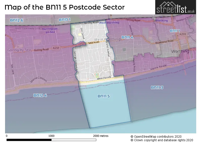
The BN11 5 Postcode shares a border with BN12 4 (Goring-by-Sea), BN11 3 (WORTHING), BN11 4 (WORTHING) and BN13 1 (WORTHING).
The sector is within the post town of WORTHING.
BN11 5 is a postcode sector within the BN11 postcode district which is within the BN Brighton postcode area.
The Royal Mail delivery office for the BN11 5 postal sector is the Worthing Delivery Office.
The area of the BN11 5 postcode sector is 0.43 square miles which is 1.12 square kilometres or 275.94 square acres.

Map of the BN11 5 Postcode Sector
Explore the BN11 5 postcode sector by using our free interactive map.
| B | N | 1 | 1 | - | 5 | X | X |
| B | N | 1 | 1 | Space | 5 | Letter | Letter |
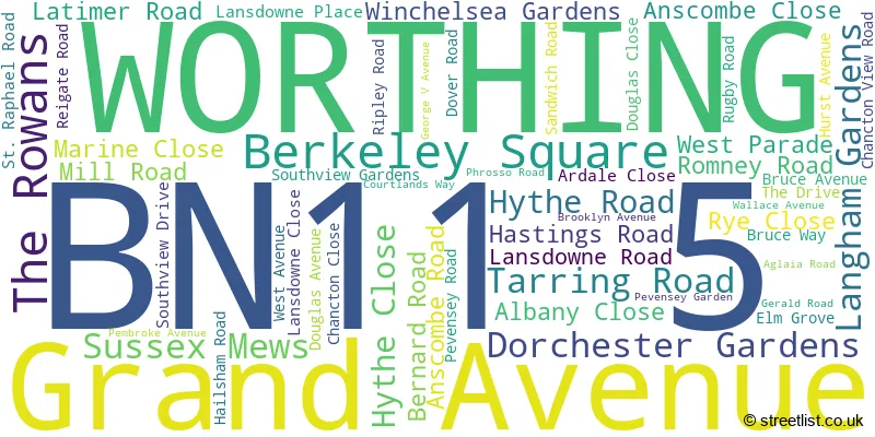
Official List of Streets
WORTHING (54 Streets)
Unofficial Streets or Alternative Spellings
Schools and Places of Education Within the BN11 5 Postcode Sector
Elm Grove Primary School, Worthing
Community school
Elm Grove, Worthing, West Sussex, BN11 5LQ
Head: Mr Nick Choate
Ofsted Rating: Good
Inspection: 2018-06-20 (2203 days ago)
Website: Visit Elm Grove Primary School, Worthing Website
Phone: 01903249387
Number of Pupils: 190
House Prices in the BN11 5 Postcode Sector
| Type of Property | 2018 Average | 2018 Sales | 2017 Average | 2017 Sales | 2016 Average | 2016 Sales | 2015 Average | 2015 Sales |
|---|---|---|---|---|---|---|---|---|
| Detached | £511,556 | 18 | £494,684 | 19 | £550,083 | 24 | £454,052 | 29 |
| Semi-Detached | £399,650 | 28 | £400,053 | 19 | £364,377 | 22 | £350,972 | 23 |
| Terraced | £316,498 | 21 | £316,758 | 25 | £311,469 | 25 | £287,606 | 27 |
| Flats | £240,754 | 95 | £221,916 | 86 | £225,905 | 123 | £200,735 | 87 |
Important Postcodes BN11 5 in the Postcode Sector
BN11 5LQ is the postcode for Elm Grove Primary School, Elm Grove
| The BN11 5 Sector is within these Local Authorities |
|
|---|---|
| The BN11 5 Sector is within these Counties |
|
| The BN11 5 Sector is within these Water Company Areas |
|