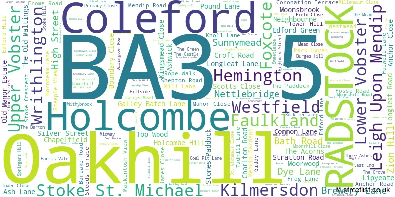
A wide range of spatial data has been analysed to present this overview of the BA3 5 Postcode sector. If you would like anything added, please contact us.
The BA3 5 postcode sector is within the county of Somerset.
Did you know? According to the 2021 Census, the BA3 5 postcode sector is home to a bustling 7,244 residents!
Given that each sector allows for 400 unique postcode combinations. Letters C, I, K, M, O and V are not allowed in the last two letters of a postcode. With 332 postcodes already in use, this leaves 68 units available.
The largest settlement in the BA3 5 postal code is Coleford followed by Holcombe, and Oakhill.
The BA3 5 Postcode shares a border with BA2 8 (Peasedown St. John, Wellow, Shoscombe), BA3 3 (RADSTOCK, Westfield, Writhlington), BA3 4 (Chilcompton, Westfield, Midsomer Norton), BA4 4 (SHEPTON MALLET, Pilton, Doulting), BA11 2 (FROME, Buckland Dinham, Standerwick), BA11 3 (FROME, Mells, Chantry) and BA2 7 (Norton St. Philip, Limpley Stoke, Freshford).
Map of the BA3 5 Postcode Sector
Explore the BA3 5 postcode sector by using our interactive map.
The sector is within the post town of RADSTOCK.
BA3 5 is a postcode sector within the BA3 postcode district which is within the BA Bath postcode area.
The Royal Mail delivery office for the BA3 5 postal sector is the Radstock Delivery Office.
The area of the BA3 5 postcode sector is 22.23 square miles which is 57.58 square kilometres or 14,227.67 square acres.
Waterways within the BA3 5 postcode sector include the Mells River, Wellow Brook, Wheel Brook.
Your support helps keep this site running!
If you enjoy using this website, consider buying me a coffee to help cover hosting costs.


| B | A | 3 | - | 5 | X | X |
| B | A | 3 | Space | 5 | Letter | Letter |
Official List of Streets
Coleford (31 Streets)
Kilmersdon (7 Streets)
RADSTOCK (11 Streets)
Oakhill (22 Streets)
Holcombe (22 Streets)
Stoke St. Michael (26 Streets)
Leigh Upon Mendip (11 Streets)
Faulkland (12 Streets)
(44 Streets)
Hemington (3 Streets)
Writhlington (2 Streets)
Upper Vobster (1 Streets)
Unofficial Streets or Alternative Spellings
Norton St. Philip
WELLS ROADWrithlington
FROME ROAD KNOBSBURY LANE OLD ROAD ORCHID WAYRADSTOCK
HAYDON HILL LOWER WHITELANDS STONEABLE ROAD TYNING HILLCranmore
OLD WELLS ROADKilmersdon
COLES GARDENSHaydon
KILMERSDON ROADMidsomer Norton
CHARLTON LANEStratton-on-the-Fosse
PITCOT LANEMasbury
OLD FROME ROADWeather Forecast for BA3 5
Weather Forecast for
Schools and Places of Education Within the BA3 5 Postcode Sector
Bishop Henderson Church of England Primary School
Voluntary controlled school
Farley Dell, Radstock, Somerset, BA3 5PN
Head: Mr Chris Lane
Ofsted Rating: Good
Inspection: 2022-12-07 (791 days ago)
Website: Visit Bishop Henderson Church of England Primary School Website
Phone: 01373812557
Number of Pupils: 158
Hemington Primary School
Academy converter
Hemington, Radstock, Somerset, BA3 5XU
Head: Mr Alun Randell
Ofsted Rating: Good
Inspection: 2022-09-23 (866 days ago)
Website: Visit Hemington Primary School Website
Phone: 01373834320
Number of Pupils: 42
Kilmersdon Church of England Primary School
Voluntary aided school
School Lane, Radstock, Somerset, BA3 5TE
Head: Mr Stephen Bamford
Ofsted Rating: Good
Inspection: 2023-02-22 (714 days ago)
Website: Visit Kilmersdon Church of England Primary School Website
Phone: 01761432283
Number of Pupils: 166
Leigh On Mendip School
Academy converter
Leigh Street, Radstock, Somerset, BA3 5QQ
Head: Mr Dan Turull
Ofsted Rating: Good
Inspection: 2023-11-22 (441 days ago)
Website: Visit Leigh On Mendip School Website
Phone: 01373812592
Number of Pupils: 102
Oakhill Church School
Academy converter
Oakhill, Radstock, Somerset, BA3 5AQ
Head: Ms Stephanie Dowley
Ofsted Rating: Requires improvement
Inspection: 2023-10-04 (490 days ago)
Website: Visit Oakhill Church School Website
Phone: 01749840426
Number of Pupils: 122
Stoke St Michael Primary School
Community school
Moonshill Road, Radstock, Somerset, BA3 5LG
Head: Mr Christopher Partridge
Ofsted Rating: Requires improvement
Inspection: 2023-05-24 (623 days ago)
Website: Visit Stoke St Michael Primary School Website
Phone: 01749840470
Number of Pupils: 54

House Prices in the BA3 5 Postcode Sector
| Type of Property | 2018 Average | 2018 Sales | 2017 Average | 2017 Sales | 2016 Average | 2016 Sales | 2015 Average | 2015 Sales |
|---|---|---|---|---|---|---|---|---|
| Detached | £420,870 | 27 | £424,539 | 40 | £420,624 | 42 | £339,554 | 38 |
| Semi-Detached | £271,931 | 31 | £250,016 | 37 | £241,553 | 30 | £201,632 | 29 |
| Terraced | £230,275 | 18 | £238,153 | 39 | £201,815 | 30 | £214,650 | 23 |
| Flats | £265,000 | 1 | £222,500 | 3 | £155,400 | 5 | £185,400 | 5 |
Important Postcodes BA3 5 in the Postcode Sector
BA3 5AQ is the postcode for Oakhill Church School, Bath Road, Oakhill
BA3 5HT is the postcode for Oakhill Surgery, Pondsmead, Shepton Road
BA3 5LG is the postcode for Stoke St Michael Primary School, Moonshill Road, Stoke St Michael
BA3 5NQ is the postcode for Mendip Country Practice, Church Street
BA3 5PN is the postcode for BLOCK A, Bishop Henderson C of E VC Primary School, Farley Dell, and Bishop Henderson C Of E Vc Primary School, Farley Dell, Coleford
BA3 5QQ is the postcode for Leigh on Mendip School, Leigh St, Leigh Upon Mendip
BA3 5TE is the postcode for Kilmersdon School, School Lane, Kilmersdon
| The BA3 5 Sector is within these Local Authorities |
|
|---|---|
| The BA3 5 Sector is within these Counties |
|
| The BA3 5 Sector is within these Water Company Areas |
|